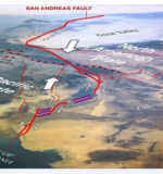
The San Andreas Fault superimposed over a shuttle photo of California (click to enlarge and read explanation below).

The San Andreas Fault is a continental transform fault that extends roughly 1,200 kilometers (750 mi) through California. It forms the tectonic boundary between the Pacific Plate and the North American Plate. It has three segments, each with different characteristics and a different degree of earthquake risk.
The fault is best known for producing large and destructive earthquakes due to the horizontal movement of the plates. As the Pacific Plate moves northwest relative to the North American Plate, stress builds up along the fault, eventually releasing as seismic activity.
The image highlights key geological features, such as the Great Valley, Sierra Nevada, and the Gulf of California, showing how the fault extends from northern California down to the Baja California region. Over millions of years, this movement has shaped the landscape, influencing everything from mountain formation to river courses.
 Photographer Finds Locations Of 1960s Postcards To See How They Look Today, And The Difference Is Unbelievable
  Hij zet 3 IKEA kastjes tegen elkaar aan en maakt dit voor zijn vrouw…Wat een gaaf resultaat!!
 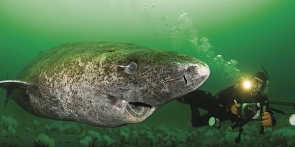 Scientists Discover 512-Year-Old Shark, Which Would Be The Oldest Living Vertebrate On The Planet
  Hus til salg er kun 22 kvadratmeter – men vent til du ser det indvendigt
  Superknepet – så blir snuskiga ugnsformen som ny igen!
 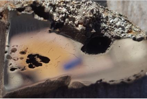 Meteorite That Recently Fell in Somalia Turns Out to Contain Two Minerals Never Before Seen on Earth
 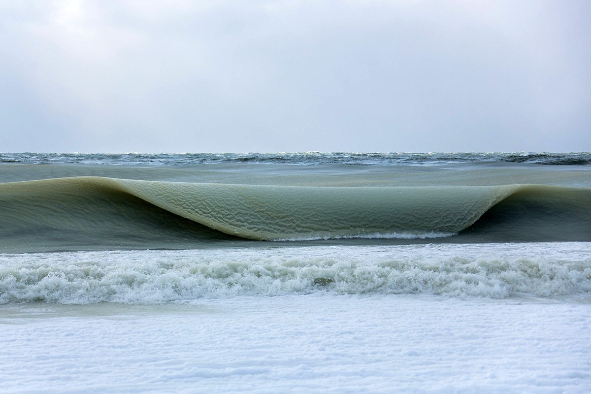 Nearly Frozen Waves Captured On Camera By Nantucket Photographer
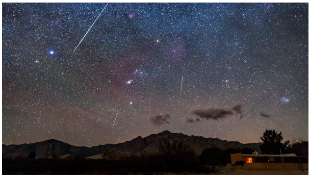
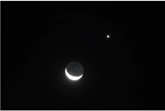
 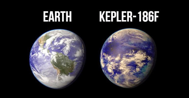 It’s Official: Astronomers Have Discovered another Earth